The first time I was part of a cross-country drive was in a ’78 Oldsmobile station wagon, often from the rear-seat vantage point looking backward out on the open road. It was 1980, the family trekking from our Billings, Montana home to sunny Southern California. I still remember so many anachronistic details: Billy Joel’s The Stranger on 8-track, ashtrays in the armrests, and a glove box stuffed with fold-out gas station maps. The very maps that, once unsheathed, would never return to their original rectangular origin, and were known to drive anally-retentive drivers to the brink of madness.
Throughout my younger days, I criss-crossed the United States multiple times. I eschewed the fold-outs for the handy-dandy Rand McNally Road Atlas, the first of which, known as the “Auto Chum,” was published in 1924, when a Model T could be had for $290. As cars became commonplace, the road trips soon followed. Getting the motor running and heading out on the highway became a staple in pop culture be it Nat King Cole, Jack Kerouac, or Clark W. Griswold. Going out looking for adventure is an American rite of passage, and it used to mean always having a map at the ready.
In 21st-century America, road atlases have been replaced by the smartphone. It’s useful, but it isn’t a map. Typing in an unknown address for Siri’s soothing guidance on a quick A-to-B trip can be a godsend, but unfurl a bigger picture view, and it’s plain as an Interstate how much is lost without the cartographic complexity of a map. There’s the obvious reason maps are superior, nobody ever says, “My atlas is about to die.” Maps don’t require batteries, plugs, roaming charges, Wi-Fi, or any level of “g” connectivity, and they aren’t ruined if dropped on the blacktop, or in a toilet.
There are also deeper reasons, both intellectual and spiritual, for putting the technology where the fold-outs used to be. For one, maps are making us smarter humans. “Spatial Orientation” is the brain’s ability to help its owner “move around in an environment using an innate sense of direction.” It’s an essential skill for navigating through unfamiliar territories – as well as the literal dark – so we, as a species, can keep moving forward. Learning to read and understand maps is a primary way to build spatial orientation. Neural pathways are formed as more mental maps are created, so the brain is growing. Map reading is a hugely important but underutilized skill for kids as well. A 2013 National Geographicreport concluded, “A student who has acquired robust spatial thinking skills is at an advantage in our increasingly global and technical society.”
Kids recognize something else grown-up drivers tend to forget: maps are fun. An atlas contains endless possibilities, whereas a GPS is strictly a means to an endpoint. Maps open up the world and give the sense of vastness, screens shrink it down to a route that only matters to the driver. As Guardian writer Thomas McMullan notes in this astute essay on maps giving way to GPS, is that now, “we are by default the center of the world.” It’s yet another example of the collective being lost to the individual. Scale is reduced to only the path of the blinking blue dot, which means people will only get where they need to go. Wanderlust, the strong desire to travel, will still exist, but to wander lost may not.
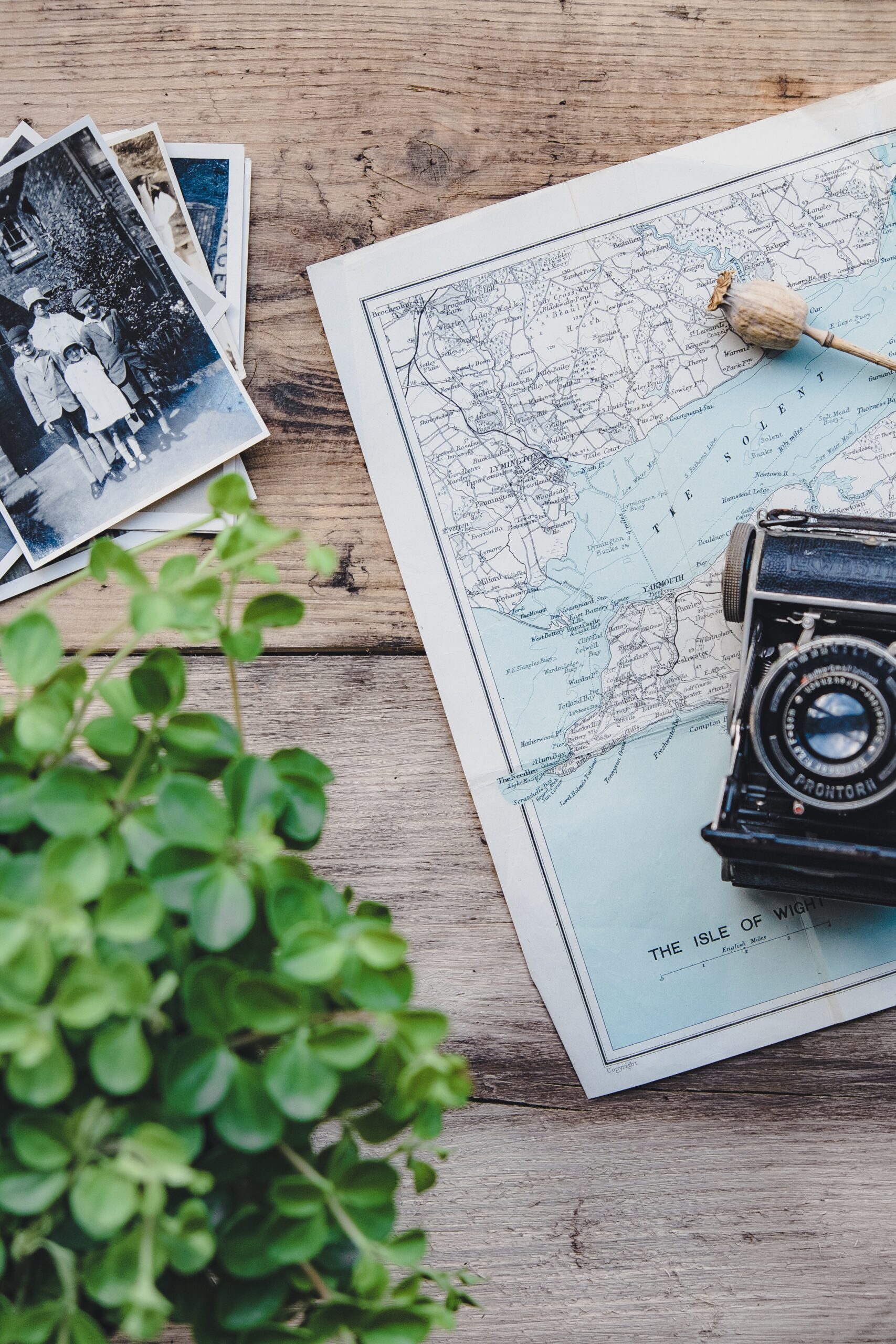
One of the innate joys of maps is opening them up and eyeballing alternate routes. Not for efficiency, for beauty. The roads less traveled offer the wonderment of having no particular place to go, and maps will help get you there. The chance to tool around aimlessly, free of the omnipresent technology shackles, among this country’s pastures, forests, deserts, mountains, plains, shores, and cities is one of life’s greatest pleasures.
Today I live in Brooklyn, haven’t owned a car in nearly two decades. When I feel a bit of wanderlust, even if it’s only in a daydream, I pull out my tattered dog-eared cover-falling-off Rand McNally Road Atlas. GPS is the destination; Maps are the journey.